 El Misti (Volcano)
Arequipa, Peru - Full screen map
[-16.298474... - -71.405553...]
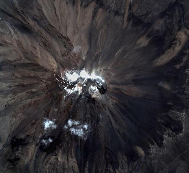
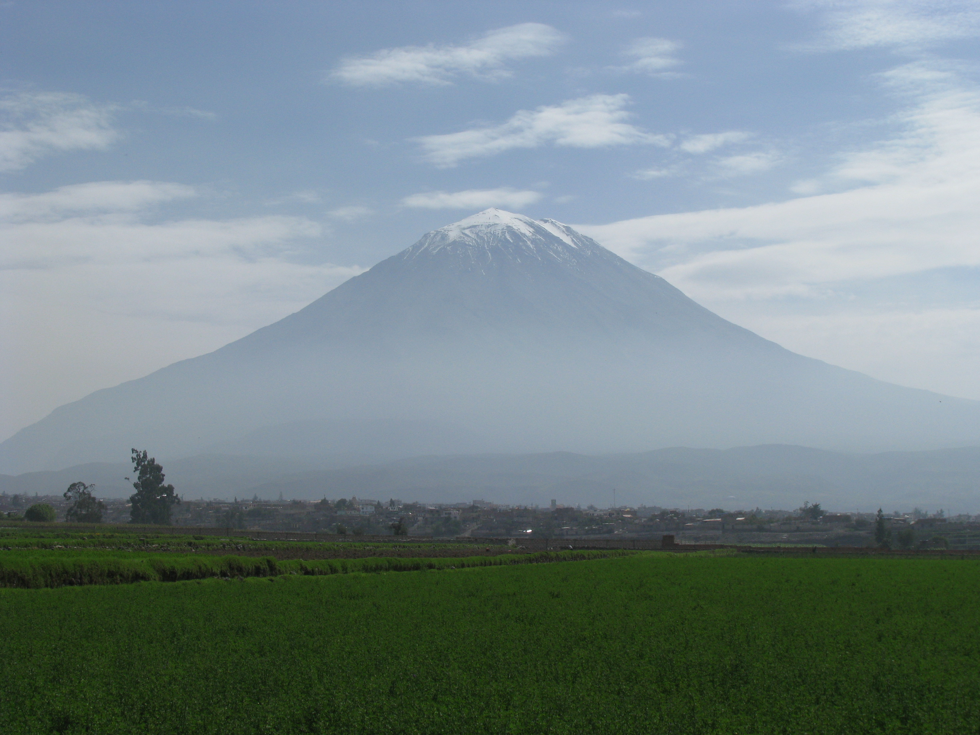
El Misti is a Stratovolcano. It is located in southern Peru near the city of Arequipa and rises to 5 822 m. The last eruption of the volcano occurred in 1870.
Advertisements
Explore this location
The map shows current imagery, which may differ from the original image above. Use historical imagery in Google Earth to explore earlier views.
Comments
Comments are currently unavailable.