 on Google Earth (kml file)") Tocorpuri (Volcano)
Tocorpuri (Volcano)
San Pedro de Atacama - Chile - Full screen map
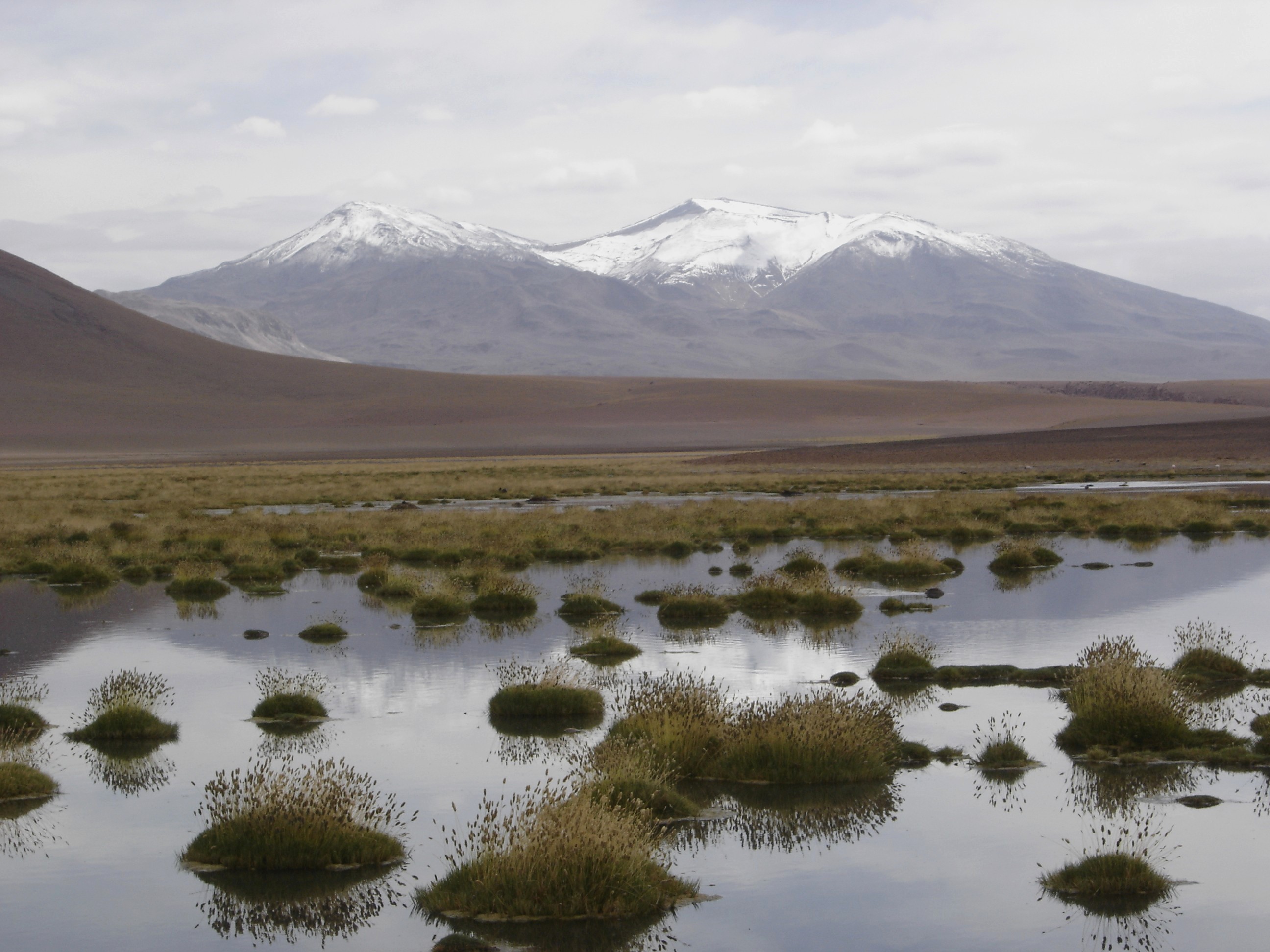
Cerros de Tocorpuri is a volcanic complex located along the border between Bolivia and Chile. On its left side you could see the rhyolite lava dome called Cerro La Torta (The Cake Hill), named so because its shape resembles that of a typical cake. Cerros de Tocorpuri's summit has a 1.4 km crater diameter (max).
[-22.441256... - -67.890014...]
 - cache image")
 Advertisements