on Google Earth (kml file)") Krakatau (Volcano)
Krakatau (Volcano)
Lampung, Indonesia - Full screen map
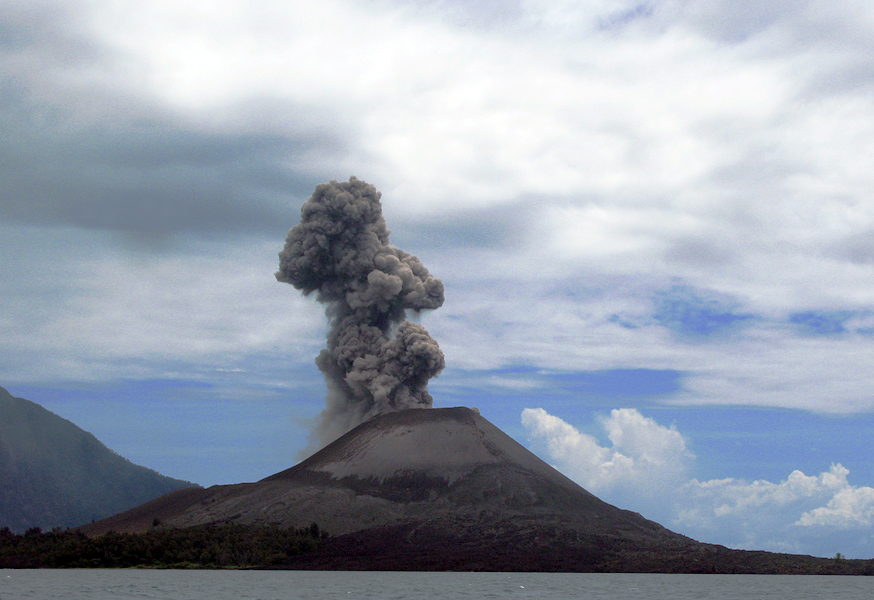
The Krakatoa, or Krakatau in Indonesia, is a gray volcano - volcano-type explosive - the fire belt of the Pacific [1]. It forms an archipelago of four main islands [2] in the Sunda Strait in Indonesia, between Sumatra and Java. Its geography has been shocked at least twice during the two years of major eruptions 416 or 535 [3] and 1883 [4]. Despite these events, the archipelago hosts animal and plant life rich, including through the tropical climate it enjoys [5]. The archipelago is part of the national park of Ujung Kulon [6] World Heritage of UNESCO [7].
The volcano is best known for its explosion of 27 August 1883, one of the most violent in living memory [8], which kills tens of thousands of people and generates a tsunami whose waves are then seen to Europe [4 ]. This disaster has inspired literature, film, television and music.
 - cache image")