 on Google Earth (kml file)") Isolated village (Construction)
Isolated village (Construction)
Ovamboland - Full screen map
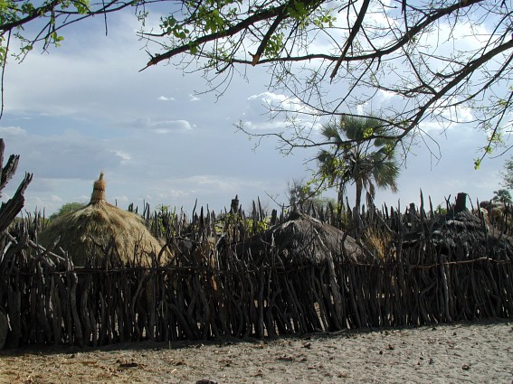
Typical village in Ovamboland.
The Ovamboland was a Bantustan autonomous located north of Namibia between 1973 and 1989. It brought together African ethnic Ovambo.
[-18.336060... - 16.3402774...]
 - cache image")
 Advertisements