 Krakatau (Volcano)
Lampung, Indonesia - Full screen map

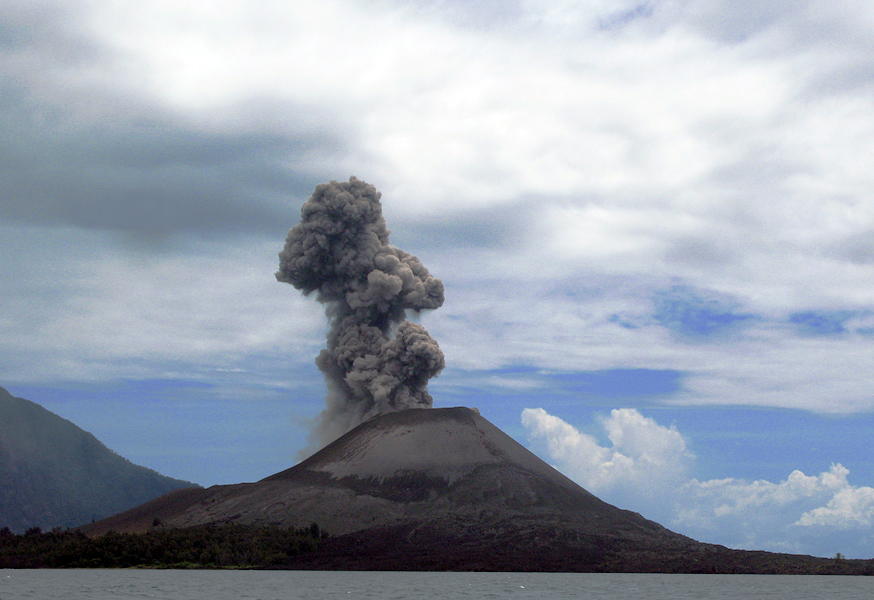
The Krakatoa, or Krakatau in Indonesia, is a gray volcano - volcano-type explosive - the fire belt of the Pacific [1]. It forms an archipelago of four main islands [2] in the Sunda Strait in Indonesia, between Sumatra and Java. Its geography has been shocked at least twice during the two years of major eruptions 416 or 535 [3] and 1883 [4]. Despite these events, the archipelago hosts animal and plant life rich, including through the tropical climate it enjoys [5]. The archipelago is part of the national park of Ujung Kulon [6] World Heritage of UNESCO [7]. The volcano is best known for its explosion of 27 August 1883, one of the most violent in living memory [8], which kills tens of thousands of people and generates a tsunami whose waves are then seen to Europe [4 ]. This disaster has inspired literature, film, television and music.
Explore this location
The map shows current imagery, which may differ from the original image above. Use historical imagery in Google Earth to explore earlier views.
Comments
Comments are currently unavailable.