 Mount Semeru smoke (Volcano)
Sumberurip Malang, Ampelgading, Indonesia - Full screen map
[-8.113658... - 112.919669...]
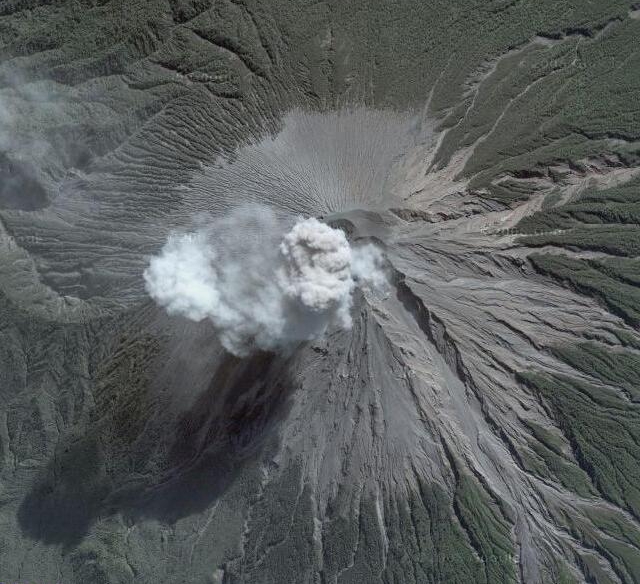
Mount Semeru smoke.
Advertisements
Explore this location
The map shows current imagery, which may differ from the original image above. Use historical imagery in Google Earth to explore earlier views.
Comments
Comments are currently unavailable.